

Livable Centers Plan
LIVABLE CENTERS STUDY
The Houston-Galveston Area Council (H-GAC) predicts that their thirteen-county region will grow by 3.5 million people by 2035. This growth is expected to overburden the region’s transportation network unless vehicle trips are reduced. H-GAC developed the Livable Centers Study program.
What Are Livable Centers?
The Near Northwest Management District Livable Centers Plan was developed in 2011/2012 through a partnership with H-GAC. The Study gathered community input to develop recommendations for infrastructure improvements and urban design solutions to make the area a more appealing place for people to interact and gather, make walking, bicycling and transit more convenient, preserve the environment and create a unique community that will catalyze investment and development.

The Livable Centers Study Process
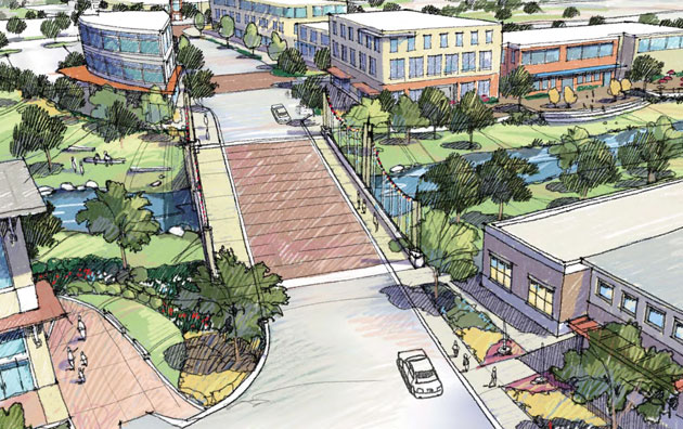
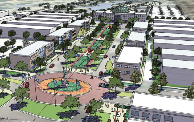
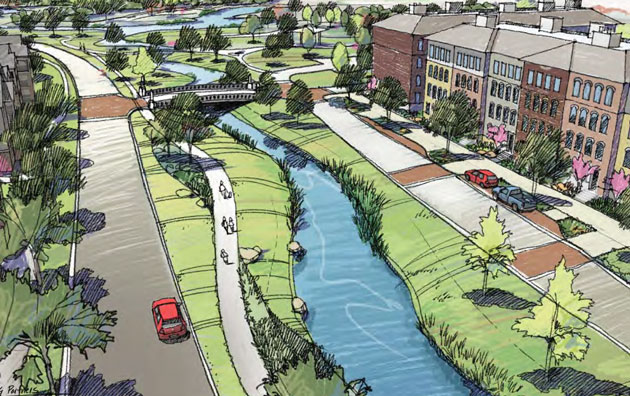
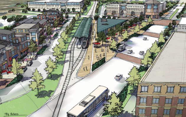
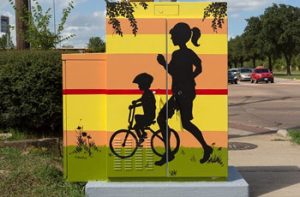
The Livable Centers Study defined practical ways to improve the area’s accessibility, increase venues for community activities and generally improve the area through projects like the creation of pedestrian and biking thoroughfares, adding beautification elements, revitalizing vacant shopping centers, improving existing parks and adapting the vacant golf course into a community center and wellness park.
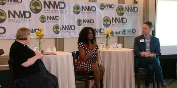
The consultant and design team studied the area to become familiar with existing conditions and the opportunities and challenges. The District formed an Advisory Committee to provide input to the consultant team. Stakeholders meetings presented a preliminary Vision Statement and “Big Ideas” for input and feedback.
Vision Statement
Transform Antoine into a destination intertwined with the waters of White Oak Bayou and Vogel Creek, linked to the heart of Houston by waterside trails and enhanced transit, punctuated by unique parks and community gardens, to be reborn as a walkable, bikable mixed-use corridor anchored by landmark buildings and lively public spaces.
“Big Ideas”
- Refine our relationship to water
- Make parks and gardens a priority
- Create a place that is a destination
- Transforming an auto-centric strip into a street for people
- Leverage strategic location with upgraded transit connections
Livable Centers Plan
The plan recommended changes in four focus areas. Read the complete Study here or read the sections below.